Header

Trip to Cumberland Island National Seashore
(August 2006)

MONDAY: Hike from Sea Camp dock to Brickhill Bluff campsite

We were on Cumberland Island (island map - pdf) for three days: August 21-23, 2006.  We arrived on Monday. Most of the island is part of the National Seashore, but there are some private residences also. The east side of the island is next to the Atlantic Ocean, and the west side of the island borders freshwater Cumberland River, Cumberland Sound, and Brickhill River.

TRAIL MAP: Here is a trail map in (a) JPG format (map and description), (b) both pages in PDF format, or (c) download larger TIF format (map and description).

At beginning of trail

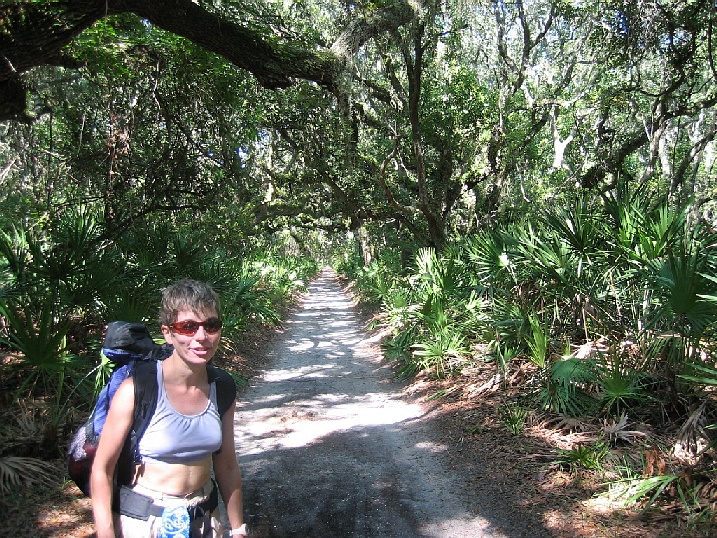
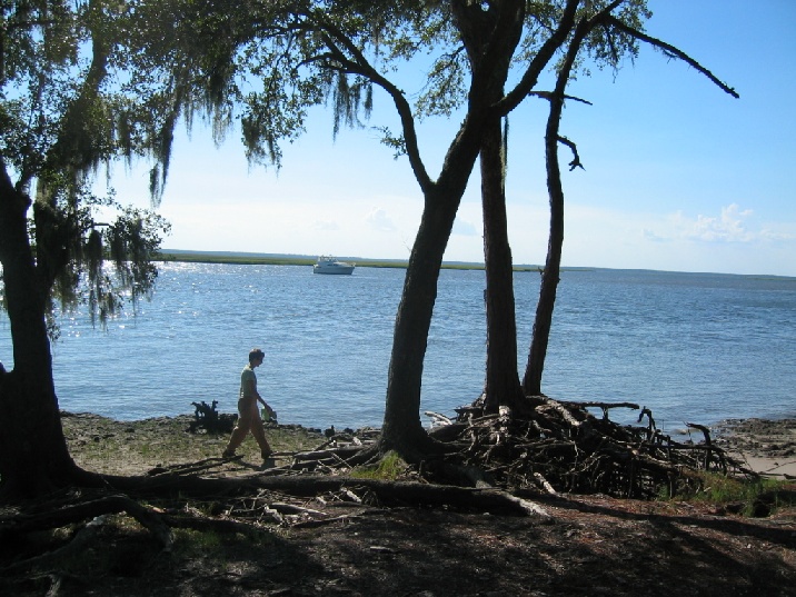
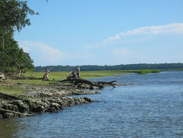
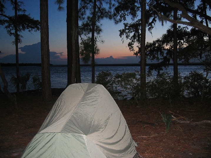
At the beginning of the Parallel Trail on Monday morning.
We hiked 6 hours that day, with fully loaded backpacks, from Sea Camp (on the south end of the island) to Brickhill Bluff almost at the north end).
We covered the Parallel Trail, Yankee Paradise Trail, Duck House Trail, Lost Trail, and the Main Road to Brickhill Bluff campsite.

Large salamander

A friendly salamander (about 9 or 10 inches long) at the base of a tree, around Hickory Hill.

Looking for crocodiles

Looking for alligators in a marshy creek...


A raccoon

...but finding a raccoon

At the Brickhill Bluff Campground

At the Brickhill Bluff campsite (looking west towards Brickhill River)


Shoreline

Looking south down the shoreline from Brickhill Bluff.

Sunset

Sunset at the campsite.

This web page brought to you courtesy of 5k10k.com web site development.  Updated 09/11/2006
Copyright © 2000-2012 Craig Arnold - All rights reserved 
(legal notice  •  privacy policy  • webmaster: 5k10k.com)